Was it Tuesday night or Wednesday morning that I realised that I had made a mistake, and left myself with too long a walk for Thursday?
More about that in my next post, but Wednesday was a day of wrong turnings: missing signs, failures to follow the guide book, and struggling with Google Maps in pouring rain at the end of the day.
The morning climb to the top of May Hill was spectacular, but hidden in the mist. I needed compass bearings to find the way down to the road. Later, with a village in sight and a perfectly good waymark, I walked on the wrong side of a stream to a dead end.
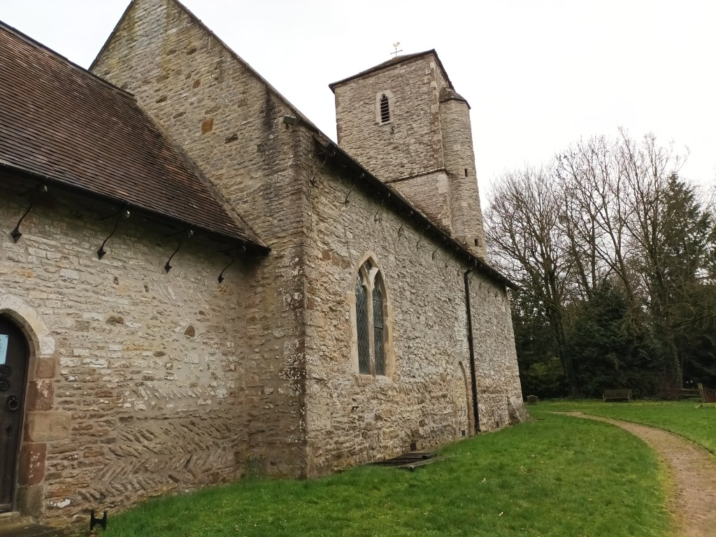
The rain had stopped by the time I reached Bibberton Church. It was closed for maintenance work, but there were benches in the churchyard where I ate my remaining sandwich.

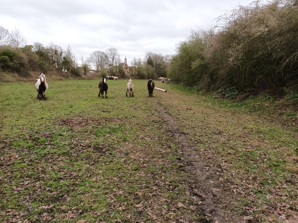
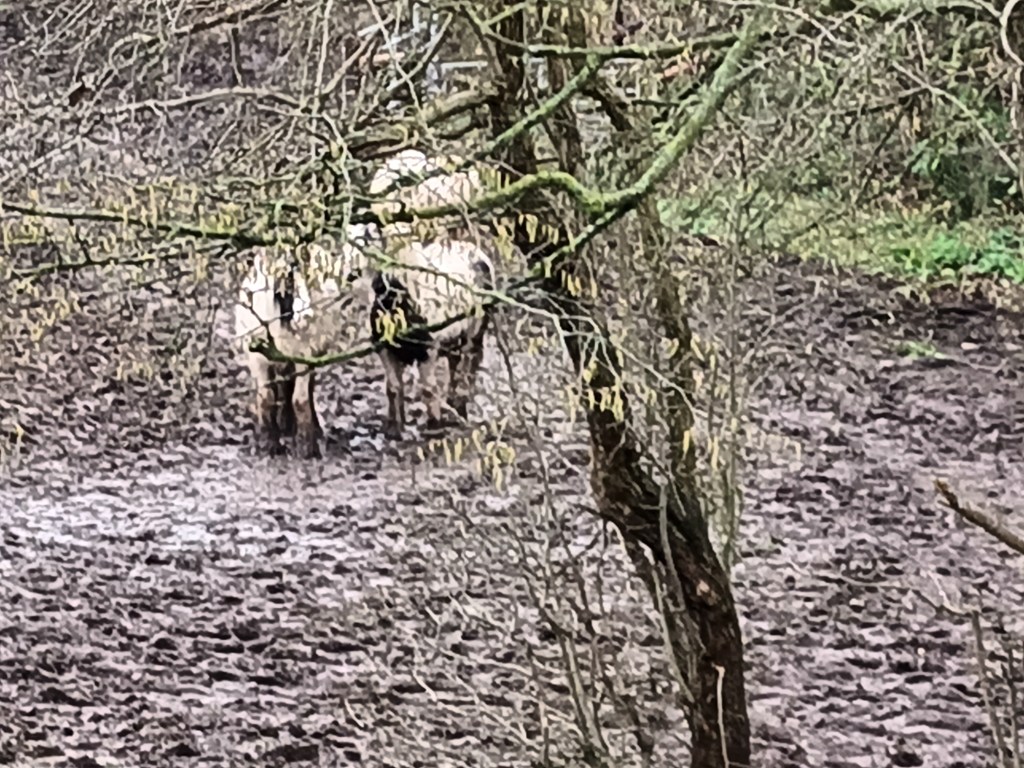
I thought that following an old “railway and canal bed” would be easy, and so it was until I met the horses. I managed to escape their curiosity and avoid slipping on the muddy slope.
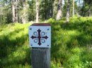
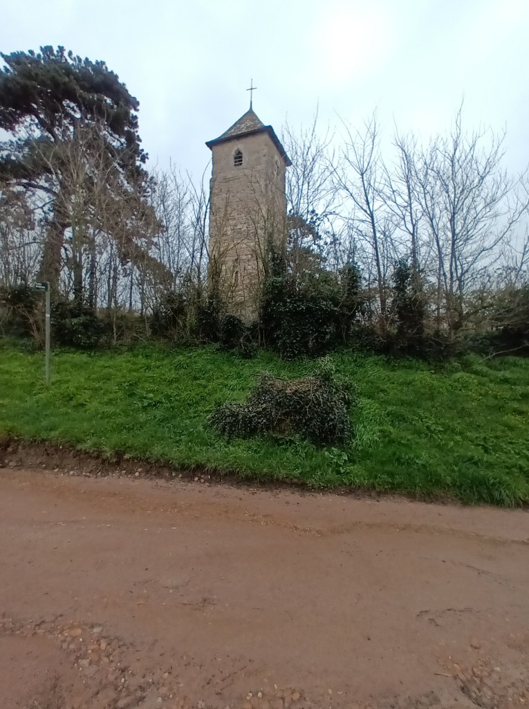
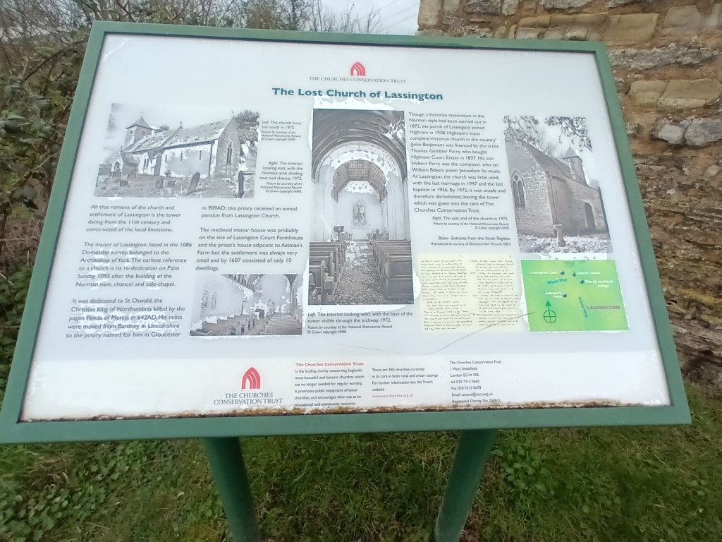
After some pleasant paths through meadows and woodlands, I came to the instruction “the bridleway turns directly across the field for about 100 yards, where the old hedge boundary has been removed, and then walk left to a gate leading through the farmyard.” Though there was a Wysis Way sign at that point, there was no arrow, and no indication of a path across the field. So I went round the edge and followed tractor marks into the farmyard, where the farmer’s wife accused me of trespassing. This was by all that remains of Lassington church.
Gloucester Cathedral was soon in sight. I reached the bridges over the Eastern branch of the Severn at 5:15, so I wasn’t going to make it to the Cathedral by Evensong at 5:30. I thought it would be easy if I stuck to the road and used Google maps. Unfortunately I found the directions hard to follow. It started pouring with rain.
After about four attempts, I used the B&B details on booking.com.
Enormous salad at Bill’s, based on water melon and feta cheese.
