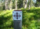
From Monday to Saturday last week, I was enjoying a holiday in Wales, staying in Caernarfon and crossing the bridge to Anglesey on the four full days for walks along four stretches of the Anglesey Coast Path, roughly described as SE, NW, SW and NE. The last walk ended at Red Wharf Bay where the first walk began.
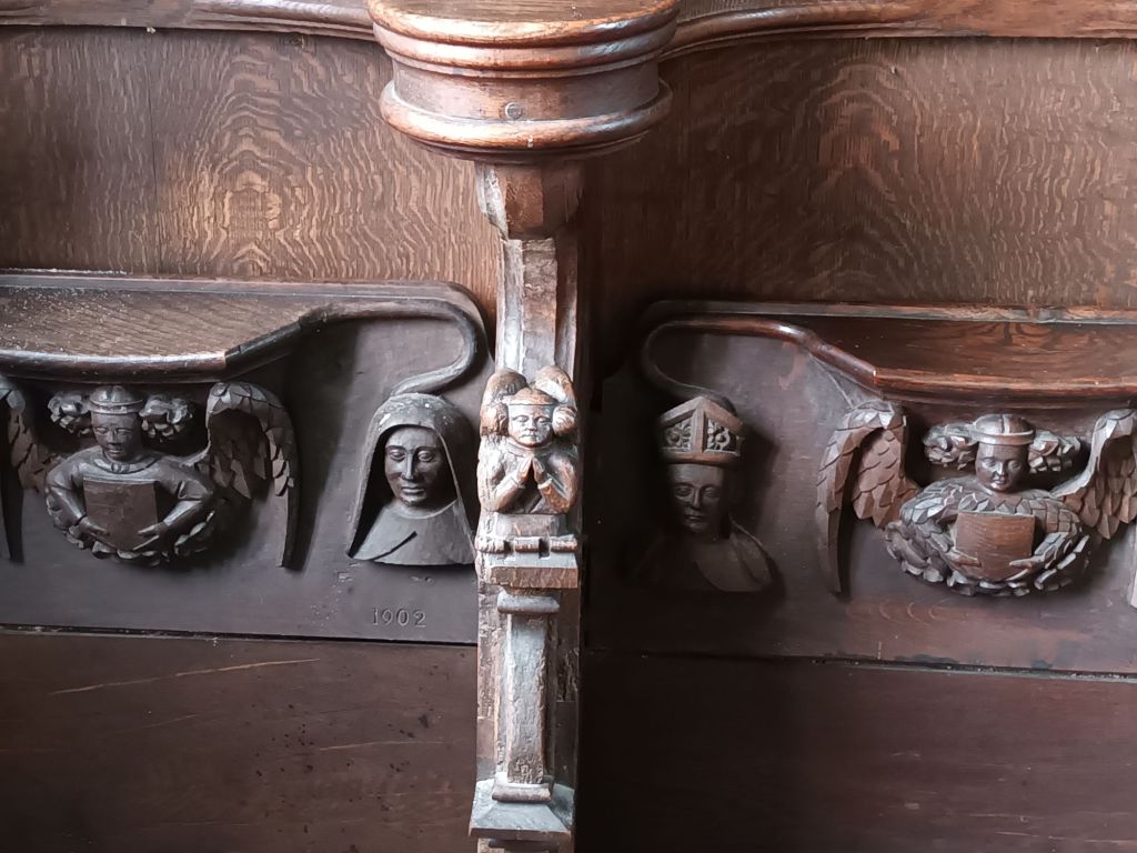
They were very different walks. On Tuesday, we walked down to the beach, including a short stretch with big stones that I found hard to walk on, before climbing to fields on the headland. At the end of the walk, our driver Eric took us to a priory church with a remarkable 14th century dovecot


and a holy well dedicated to a Welsh saint. Then on to Beaumaris, where I thought I could use my English Heritage card for free admission to the castle. But since it’s not in England, the card would only have got me in half price, so I spent the money on an ice cream instead, and my time on a visit to the church.

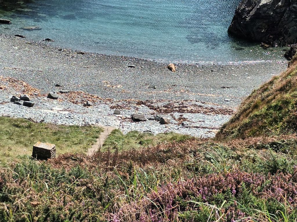
Wednesday began with a steep path over the shoulder of Holyhead Mountain. The others went up to the summit, while I looked after their haversacks. Then down to the road for a lunch stop and an easier afternoon walk, including a Bronze Age village and a basking seal. The latter is not much more than golden-brown dot in my photo, but if you can Zoom in, you can see its rear view as it occasionally edged towards the sea. It had been on the beach since 10 am, in no great hurry to go anywhere. We stopped for photos and shopping at Llafairpwll………gogogogoch, but the station with the longest place name in Britain was covered in scaffolding.
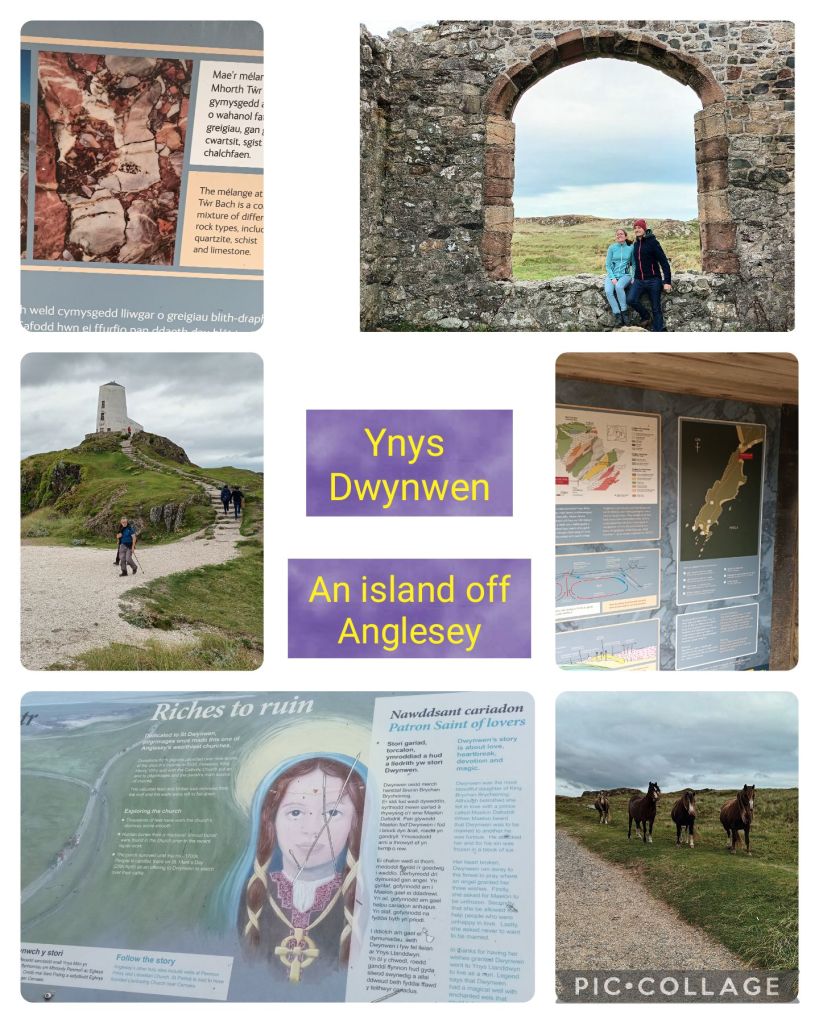
On Thursday, David, our leader, told us there was zero ascent or descent. Not strictly true, though much of the walk was low-level, on reclaimed and forested marshland. Our target was St Dywnwen’s island, but we waited for the tide to go out sufficiently that we could walk there rather than wading. Dwynwen is the patron saint of lovers, and posters tell of her romantic story. The island is on a seismic fault, of geological interest, and a herd of semi-wild ponies helps to keep the grass trimmed.
We returned through sand dunes and up a sandy path to the car park with a ice-cream van.
The last walk was the closest to my idea of a coast path, with a lot of ups and downs on narrow paths along the cliffs, though less difficult and exposed than on Wednesday. It was also a hot day, and we finished with drinks outside the Ship Inn. I didn’t take any photos that day, as I had left my jacket at the hotel and kept the phone in my backpack.
Both David and Eric remembered me from different stages of the Offa’s Dyke Path. Perhaps if I go on another walking holiday in Wales I might see them again.
